Elevation Survey
Drone surveying is a powerful tool for assessing undeveloped land, determining topography, examining plant health, and planning development.
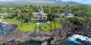
Professional Aerial Imagery
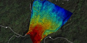
Drone surveying is a powerful tool for assessing undeveloped land, determining topography, examining plant health, and planning development.
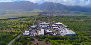
Cheaper than helicopter based aerial photography, drone based surveying can give you that bird’s eye view for a fraction of the cost. Commercial or residential lots, build progress, resource management …

MotoX Riding Clinic with Mike Brown at the Maui Motocross Association track in Maui Hawaii. Drone footage makes this video!
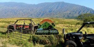
These guys know how to have a good time. They let the customer drive and make their own path. So much Fun!
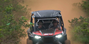
The drone angle is a part of nearly every video I do these days. This footage was particularly difficult to get after the drone took a serious bump riding in …
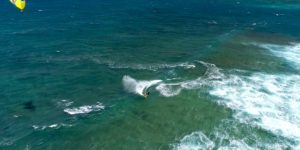
As a Hawaii based commercial drone pilot I am regularly asked to fly drones in relatively high wind. Here on Maui we typically get winds in the 20 knot range …

Maui Tropical Plantation drone video of Sunflowers.
Now you can find, review, purchase, and download high resolution aerial photos and videos from mauidrone.com
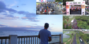
The Maui Marathon is an amazing 26.2 miles along picturesque views of beaches and waves in Maui, Hawaii. Filming it via drone presented quite a challenge with 30 knot offshore …
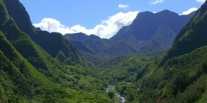
A collection of shots depicting the beauty of Iao Valley with information on equipment used and camera settings.