New DJI Avata has arrived!
This FPV (first person view) drone brings the serious capabilities of manual flight and immersive viewing to the indoor environment. With built in propeller guards and a beveled undercarriage the …
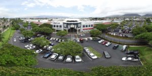
Professional Aerial Imagery
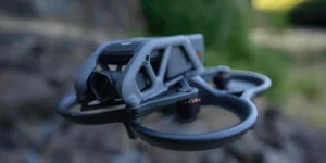
This FPV (first person view) drone brings the serious capabilities of manual flight and immersive viewing to the indoor environment. With built in propeller guards and a beveled undercarriage the …
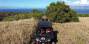
MORA offers the most exiting tour on the West side of Maui.
This 47 acre property presented a significant challenge in that it was located half in and half out of an FAA Authorization Zone. In order to photograph and survey the …
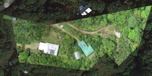
We are now able to import government derived Property Boundary Maps directly into the drone software to create a survey parcel map with boundary lines GIS accurate within inches. Great …
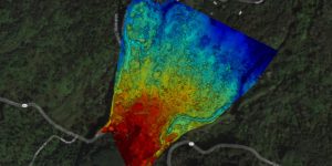
Drone surveying is a powerful tool for assessing undeveloped land, determining topography, examining plant health, and planning development.
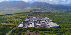
Cheaper than helicopter based aerial photography, drone based surveying can give you that bird’s eye view for a fraction of the cost. Commercial or residential lots, build progress, resource management …

Now you can find, review, purchase, and download high resolution aerial photos and videos from mauidrone.com