Kauai by Drone
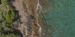
Not much to say about this shoot other than wow. Kauai, also known as The Garden Isle is a lush green wonderland full of surprises and relaxing beaches framed by …
Professional Aerial Imagery
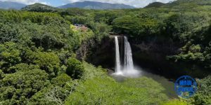
Not much to say about this shoot other than wow. Kauai, also known as The Garden Isle is a lush green wonderland full of surprises and relaxing beaches framed by …
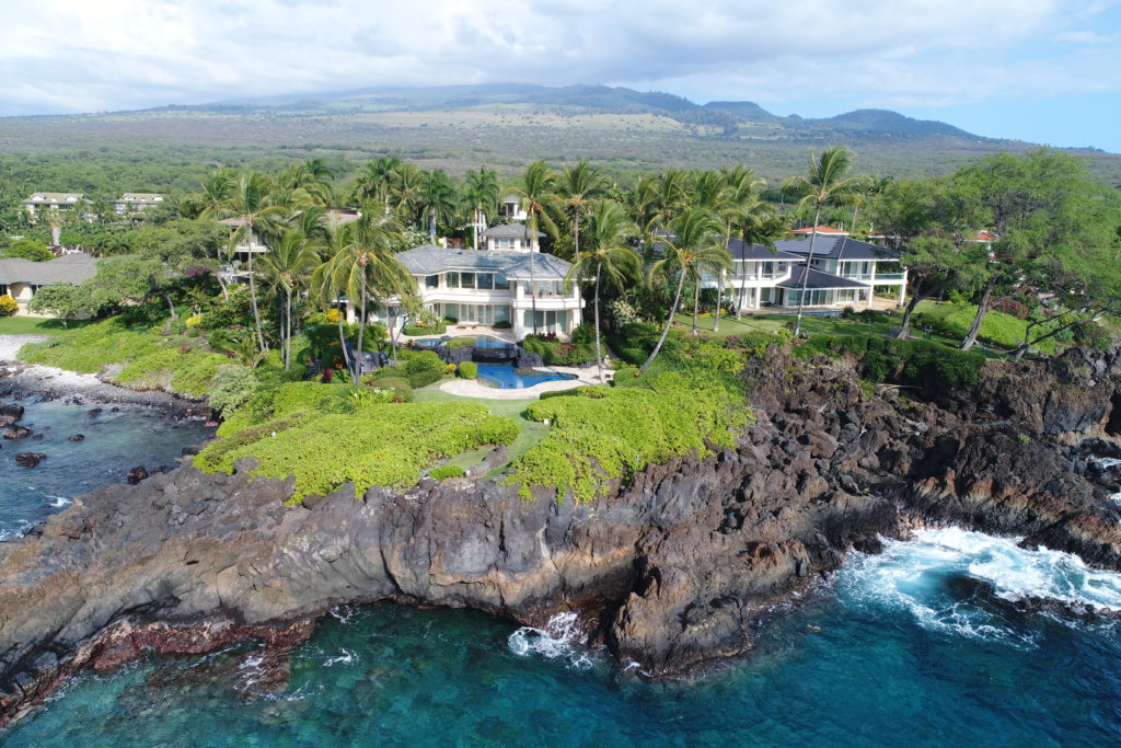
Super fun fly through for a real estate property video in Hana Maui. It took a few tries but we got a good shot and I got to play some …
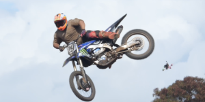
Some wild First Person View follow footage of Kaine and Nate at the Maui Motocross Association motorcycle track in Maui Hawaii.
FPV drone shots of Maui
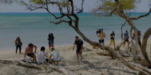
Fun couple days of filming scenes and scenics with the Mavic 3 Pro Cinema Drone. This job required several FAA clearances as well as operation in high wind for the …